Mapping
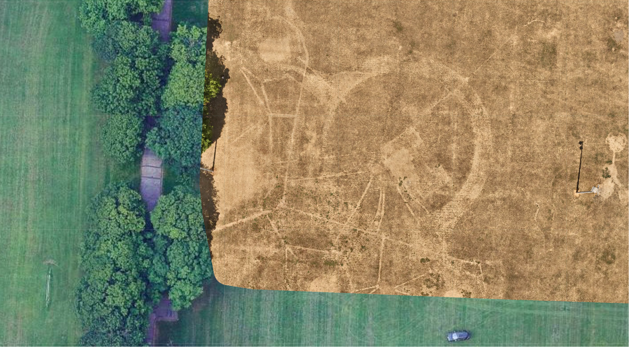
High resolution area mapping and 3D modelling also known as digital twinning.
We use satellite maps to identify the area to be mapped. Then we program an automated mapping flight and let the drone do it’s s thing.
We send you the image data sets via an online download link. If you don’t have software already then free software like WebODM is available.