NewView Aerial – Drone Photography
Booking drone shots in 3 easy steps
Step 1 >Send a Shoot list & notes
Send us an outline of your specific aerial imaging needs: The shoot list
Step 2 >Review & Approval
The pilot verifies flight permissions and plans a safe legal flight tailored to your project. We quote, you approve and we shoot
Step 3 >Shoot & Delivery
After the shoot we send a link for online download of unedited content customised to your specifications. Business to business by standard Invoice terms
| Making a Shoot list |
|---|
| Add a brief description of shots, location details and send it .. for a simple quote |
| Eg 1. (Address) Photo. Maintenance inspection. High access shots of the entire roof area. JPEG images. To. Be used with point cloud mapping software. VTOL from private land.✔ |
| Eg 2. (Address) Video. Website Wide shot. A few variations with a Wide frame of the location and partial surrounding area. 5′>10s. 4k Dlog Slow tracking in. Shoot during the PM golden hour if possible. VTOL from private land.✔ |
| Eg 3. (Address) Photo & Video. Commercial property being sold at auction. We need some marketing photos/video and an aerial top down photo to add the property border outline. VTOL from street. No access. |
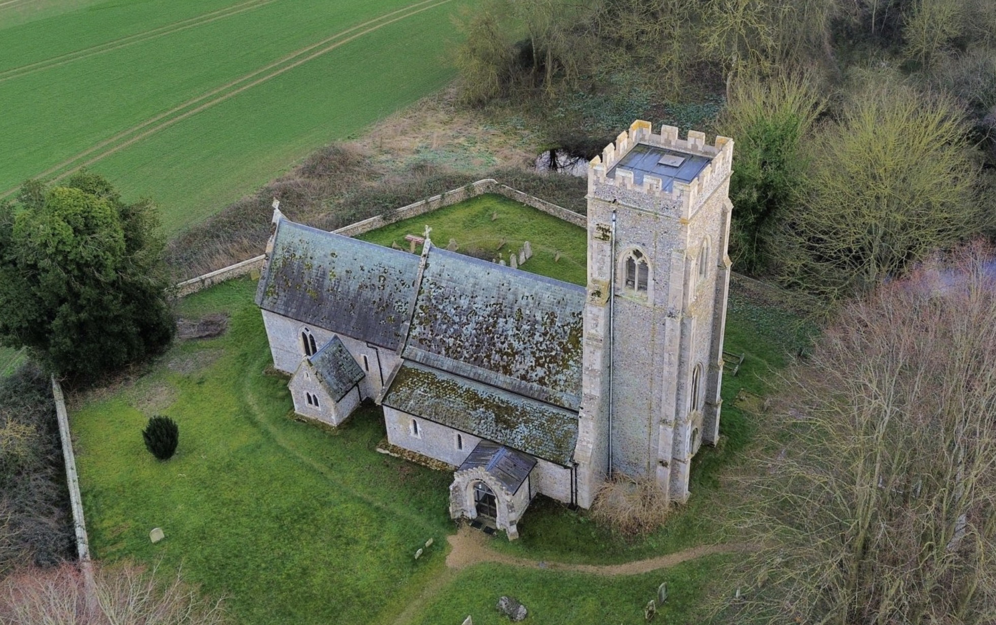
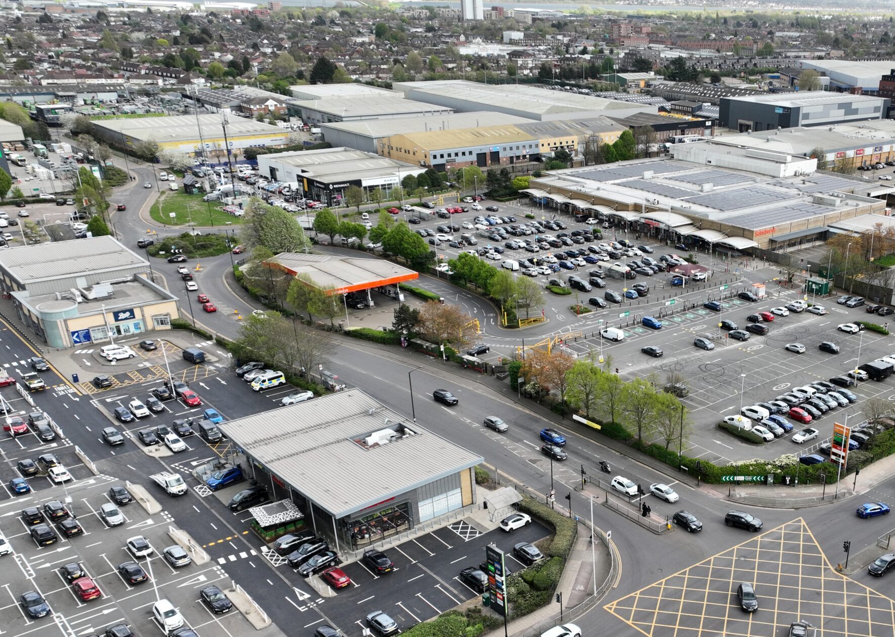
High Access – Survey – Inspection
For property managers, landlords, surveyors and construction professionals who need a clear view of roof condition without the need for scaffolding or manual access.
• High resolution aerial imagery
• Close up shots of key areas and potential issues
• Inspection of tiles, gutters, chimneys and structures
• Safe access in hard to reach or hazardous areas
• Images suitable for maintenance, documentation and reporting
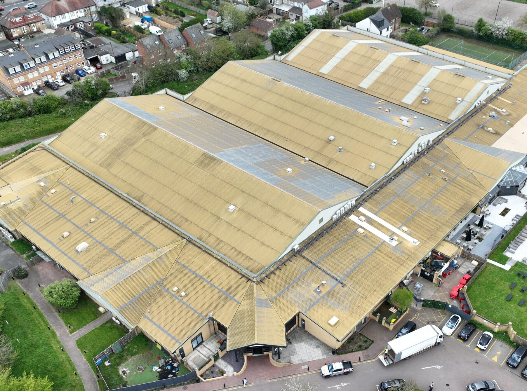
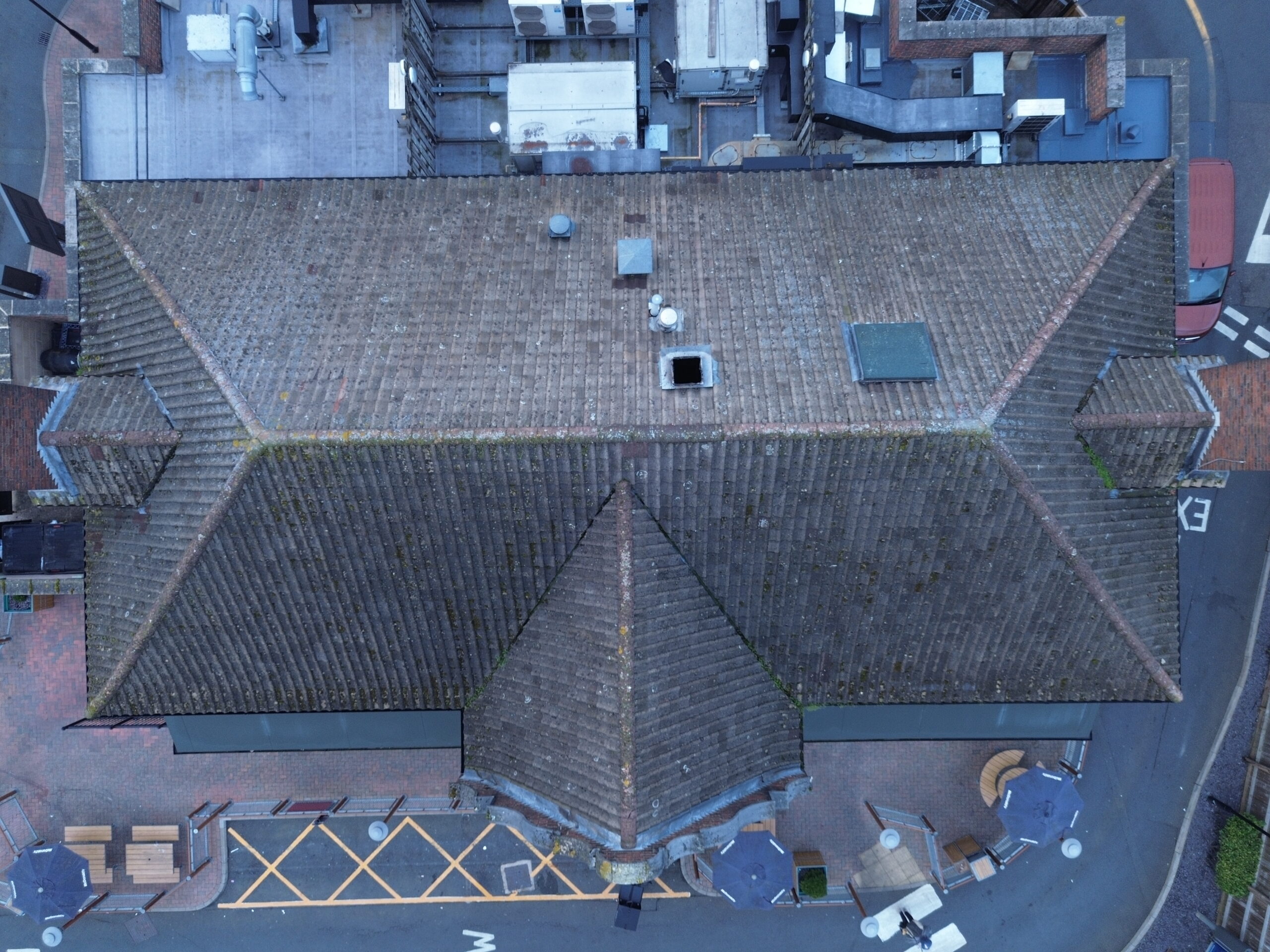
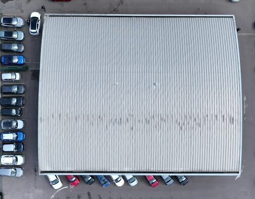
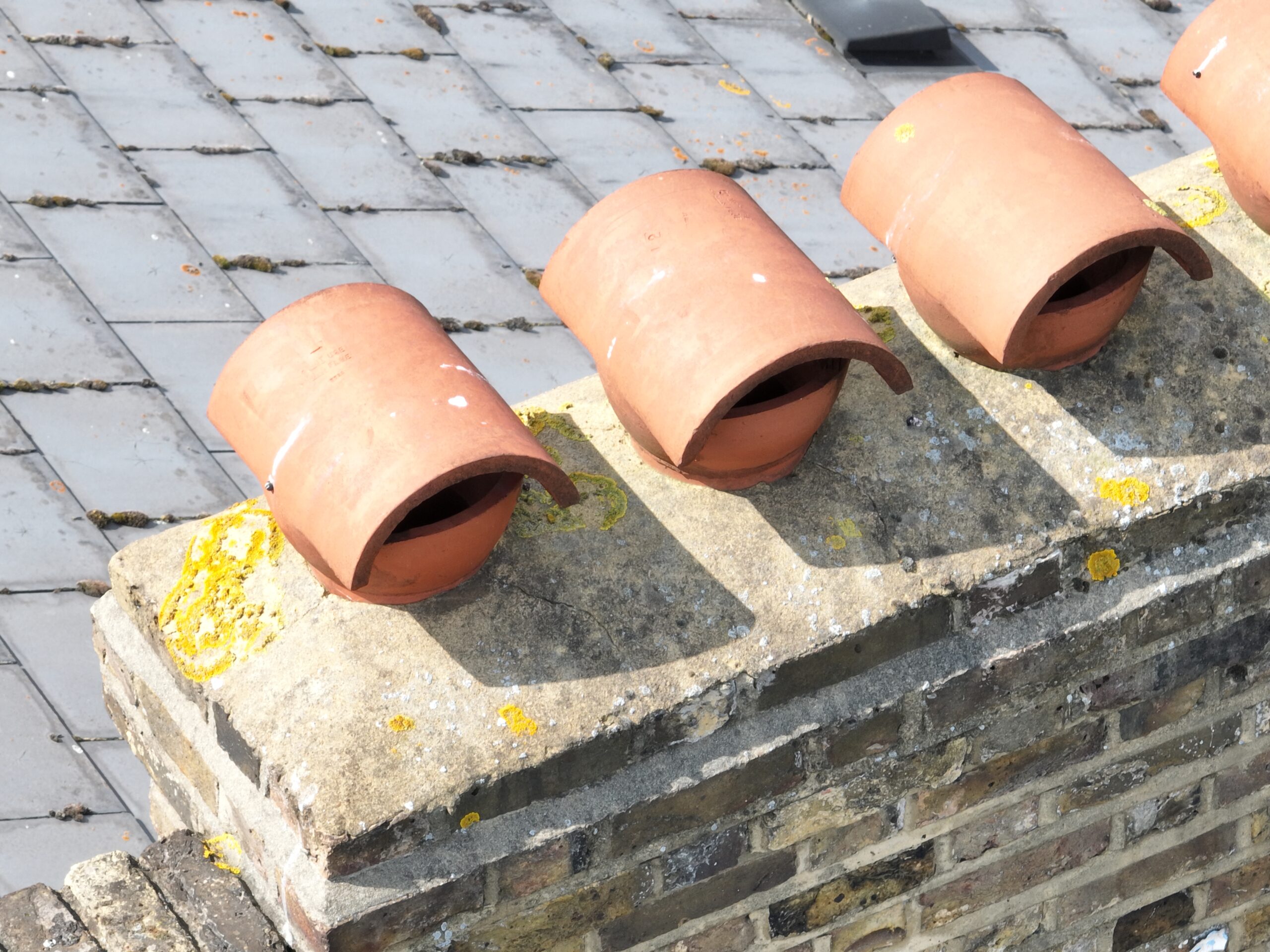
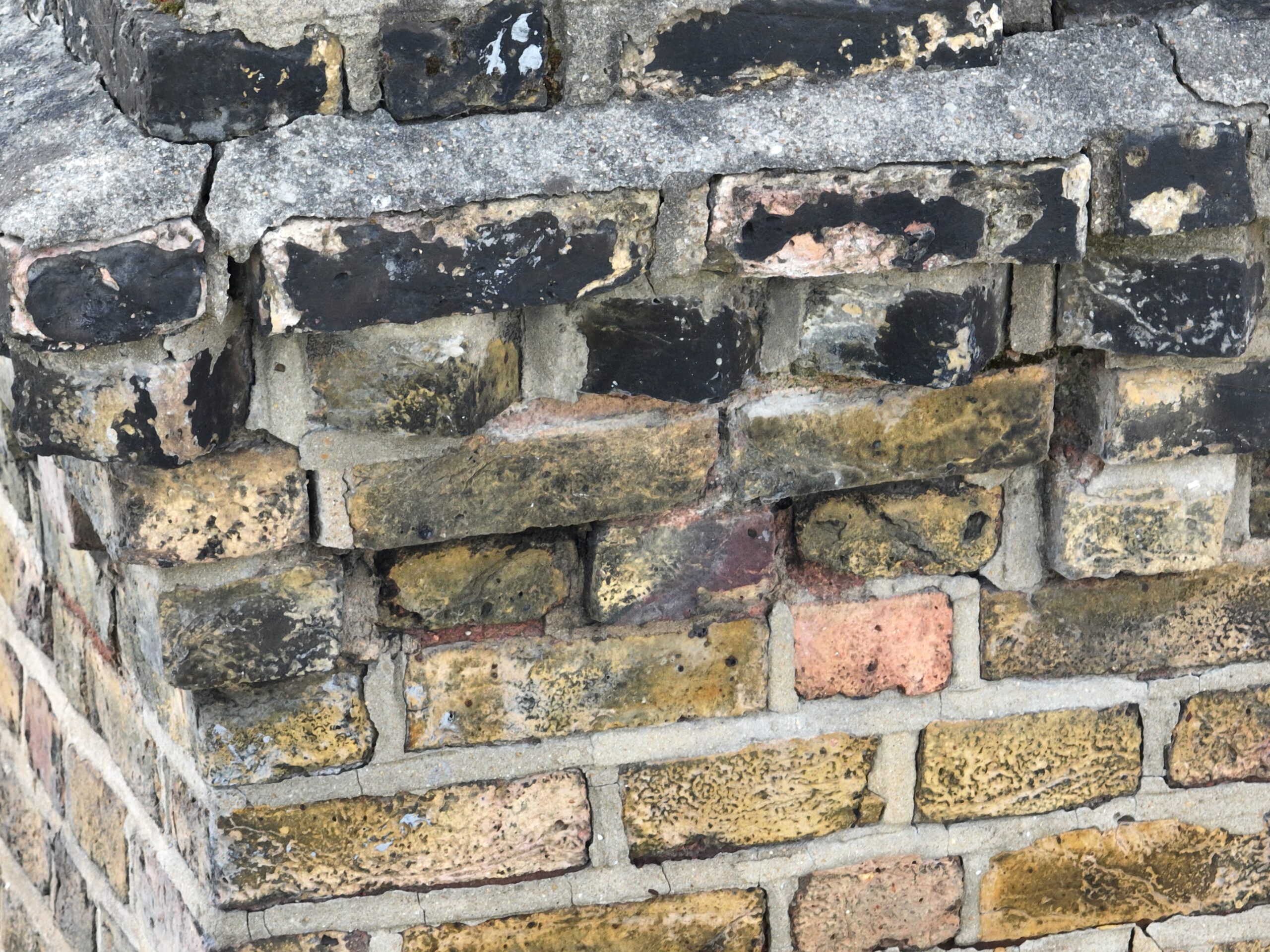
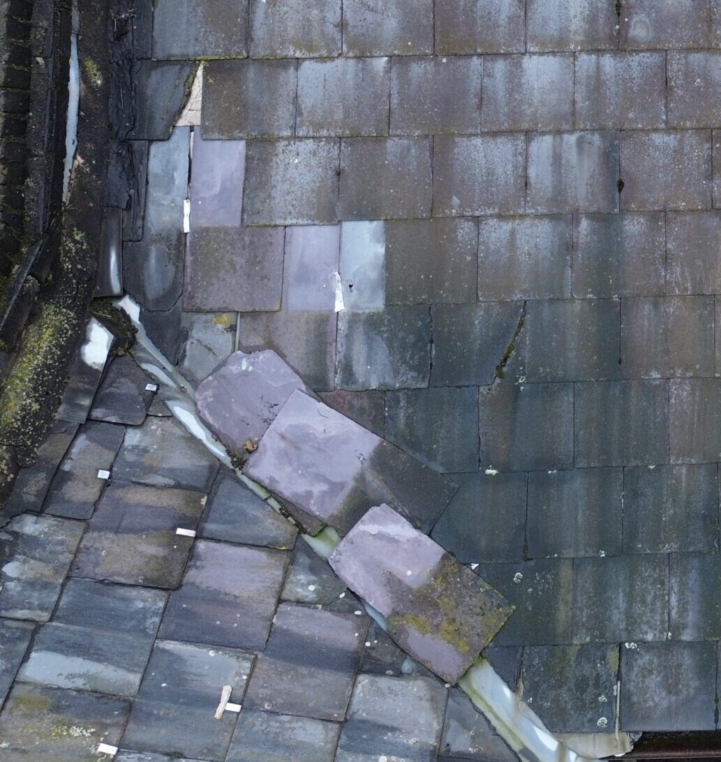
High access property survey images from £150
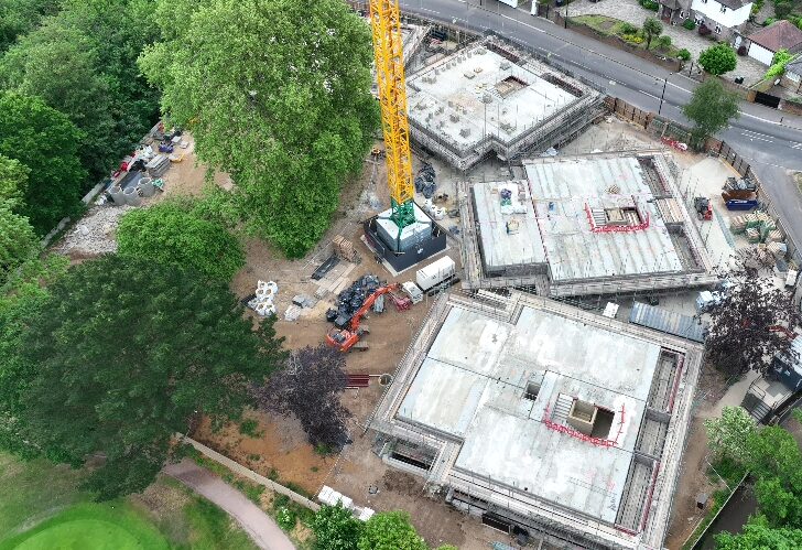
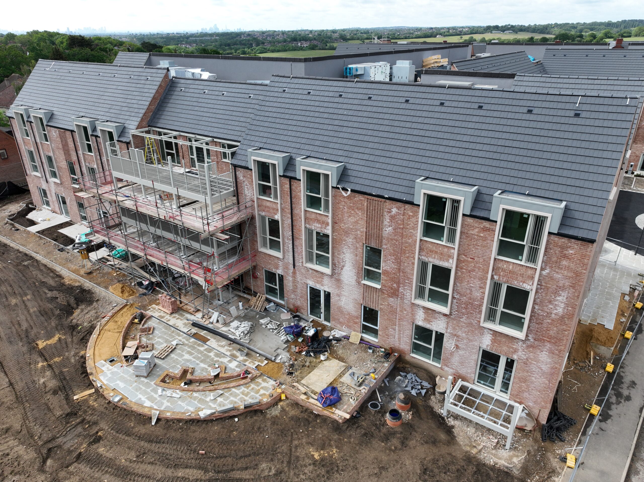
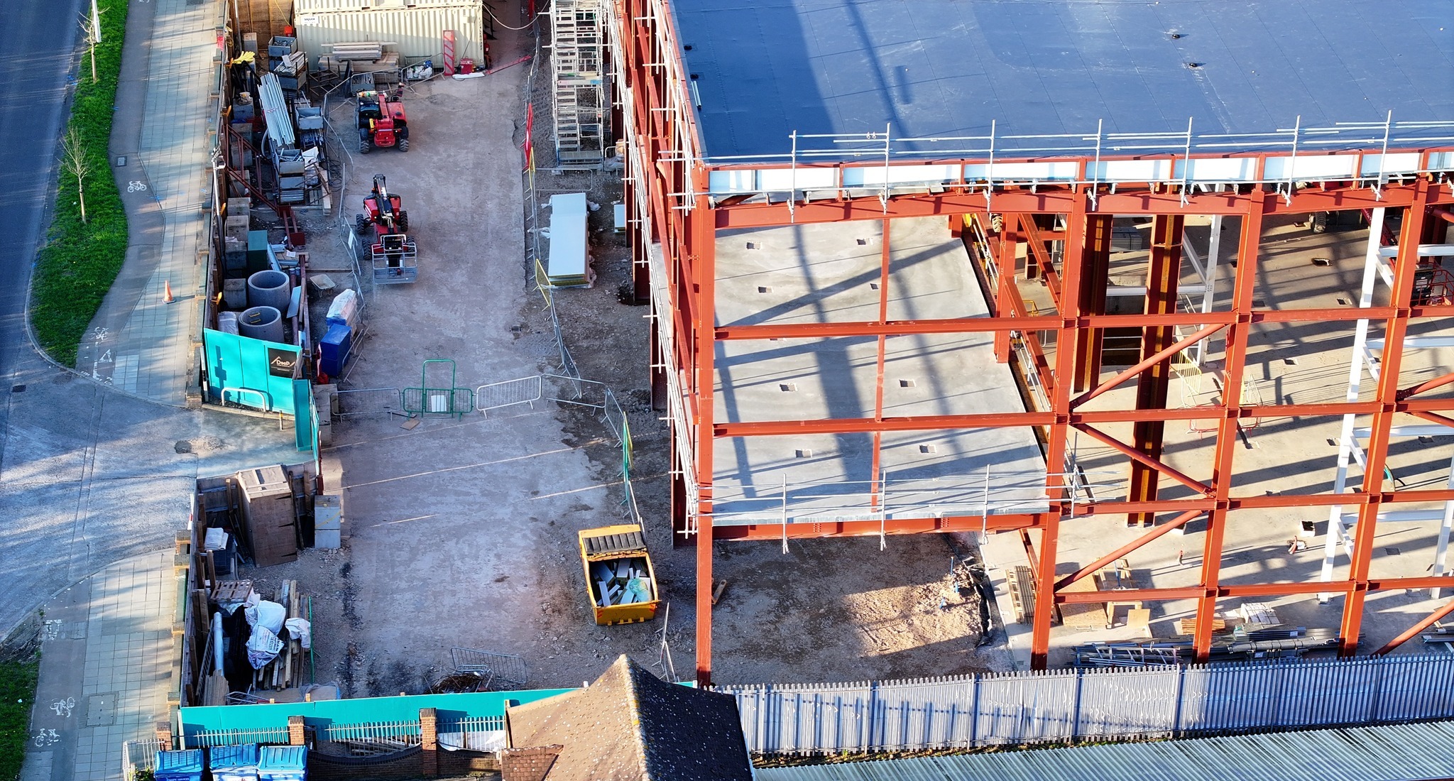
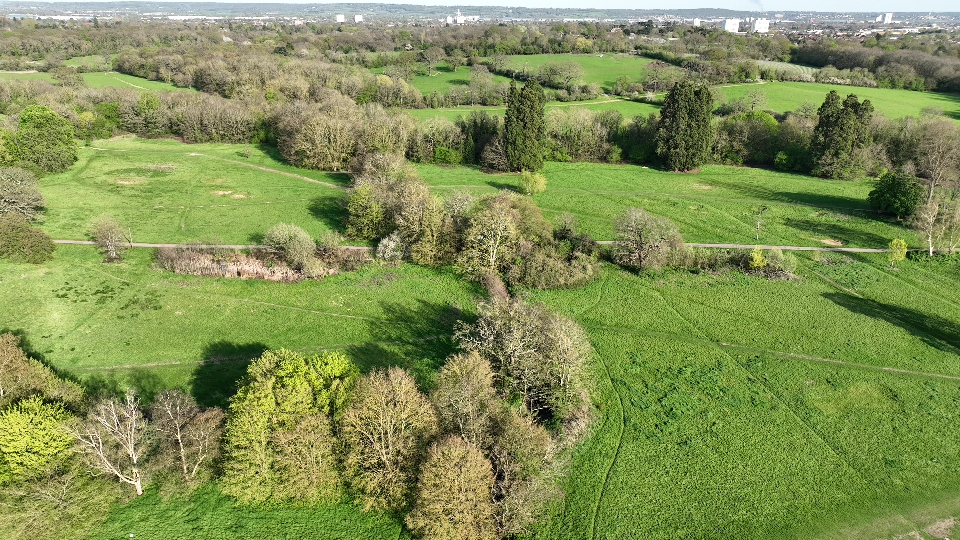
BUILDING WORKS PROGRESS
360 Degree flights can be used to monitor progress on building projects. Repeatable stored flight routes, at regular intervals. Generate up-to-date detailed images of your site progress. Great for investors, marketing and remote management
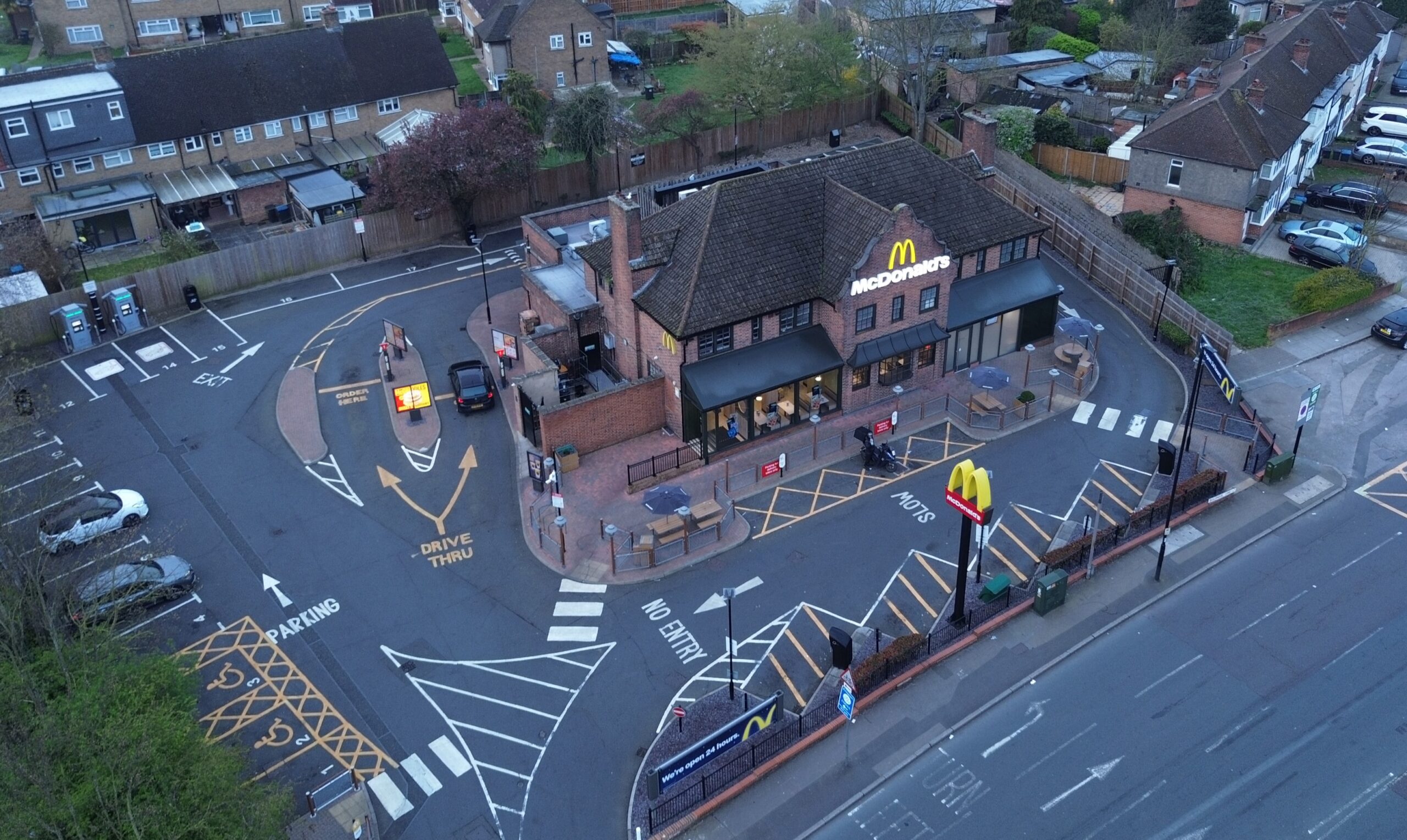
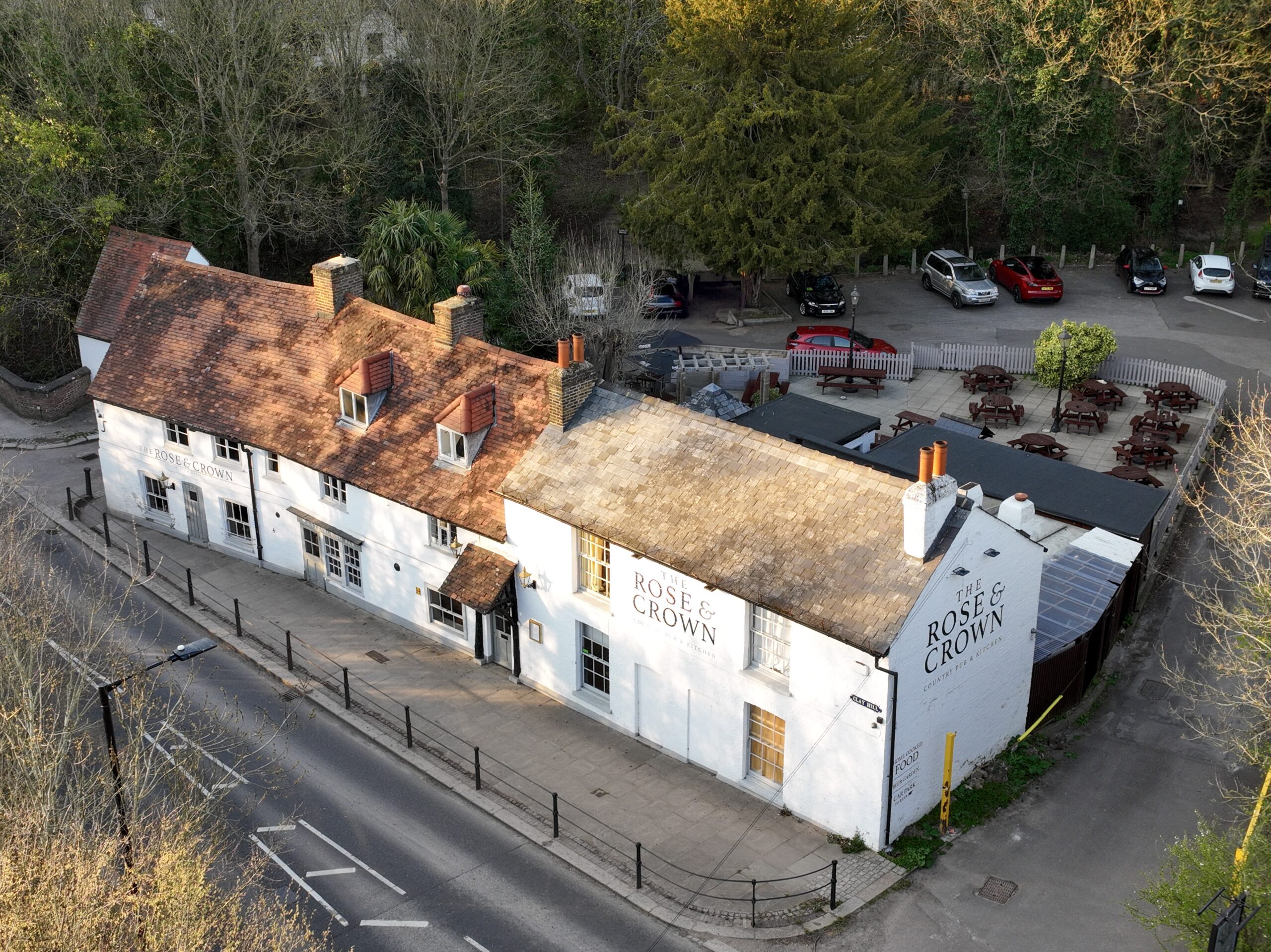
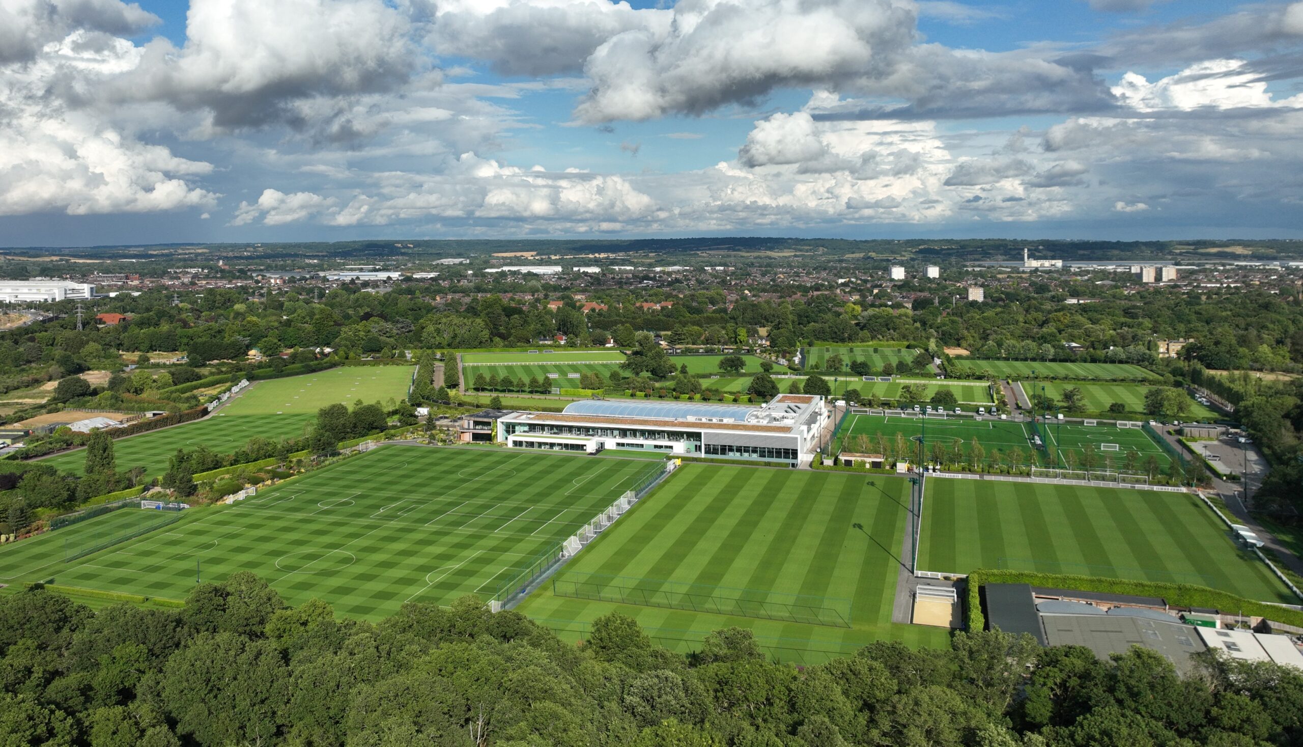
Websites & Creative Media
The goal is making great Shots
Video shots tailored for your use with online media or Websites from £250
“Design Preparation and planning is the best way to ensure results”
These organic video shots are then available for your editing, that may involve CGI, Ai FX, Sound, colour grading, re-framing and re-timing.
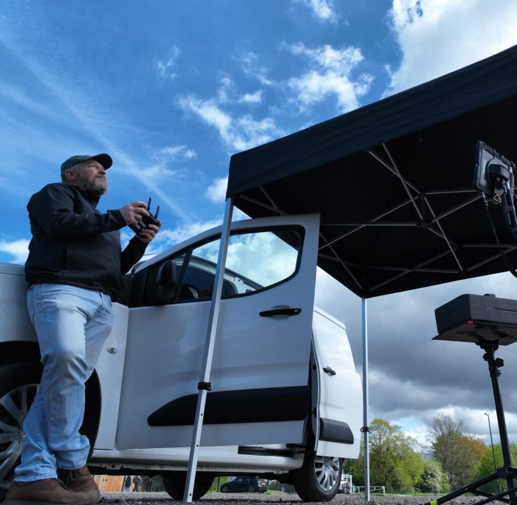
| Our CAA licensed lead drone pilot is an experienced drone pilot but also has 30 years experience in film & video production environments. |
| Sometimes, but not always it helps to add some reference links, images or drawings to your wish list, if you think that will help outline your requirements. |
3D Property Modelling
Transform image data sets into accurate, detailed 3D representations, known as digital twins.
2D Property Mapping
Generate precise up to date detailed maps of your property.
At NewView Aerial we want repeat business with happy clients
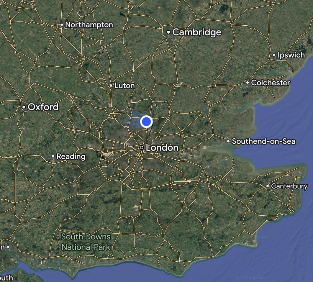
We cover the South East of England
email: info@newviewaerial.co.uk
WhatsApp / Text / Phone enquiries 07881953209