Building
Regular drone video and photography to document progress made on site. Great for investor updates, marketing and weekly/monthly planning meetings.
Generate up-to-date detailed video/photo and or 2D mapping of the site progression.
Aspect Photo
Aerial Mapping
360 Video
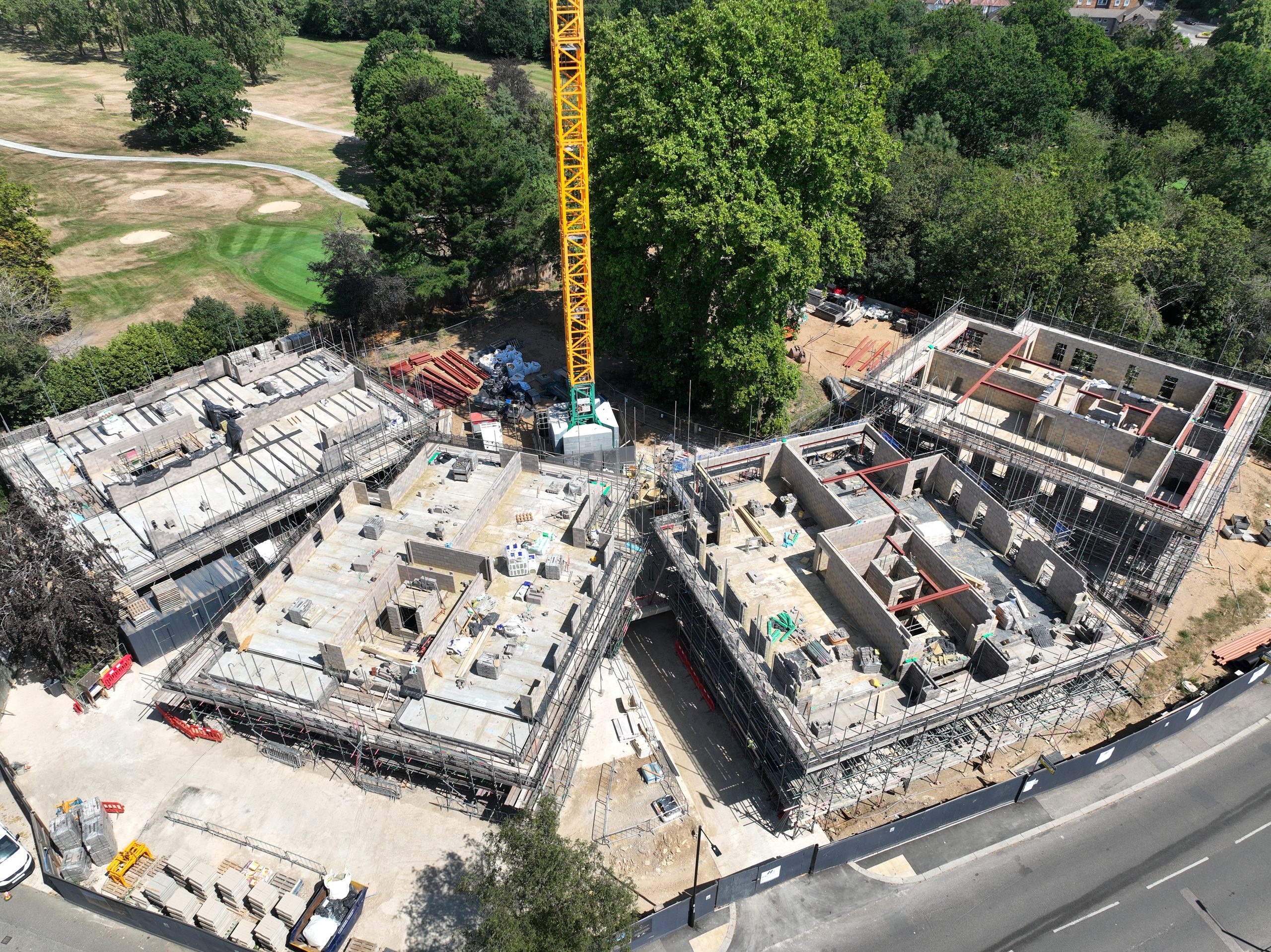
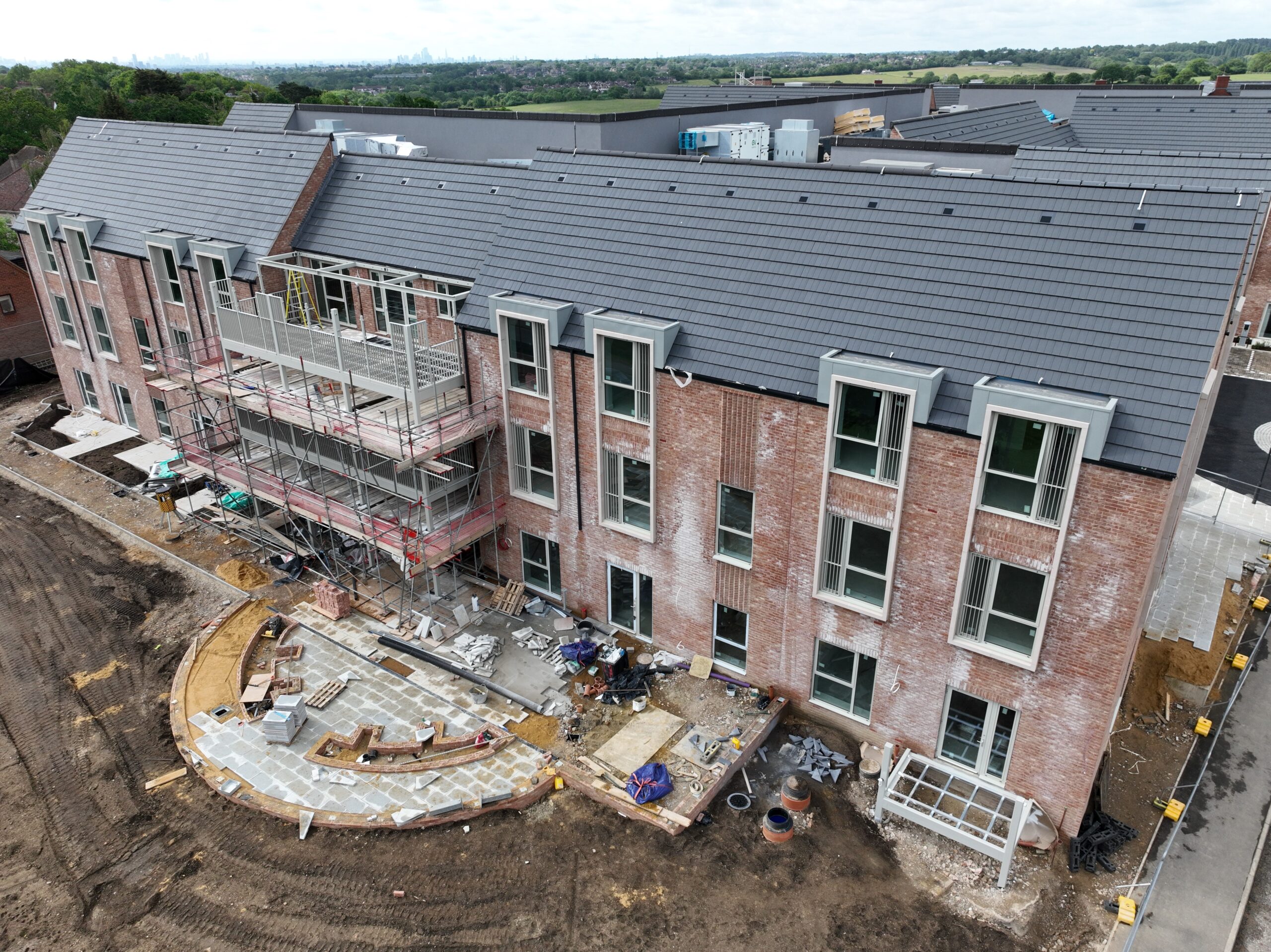
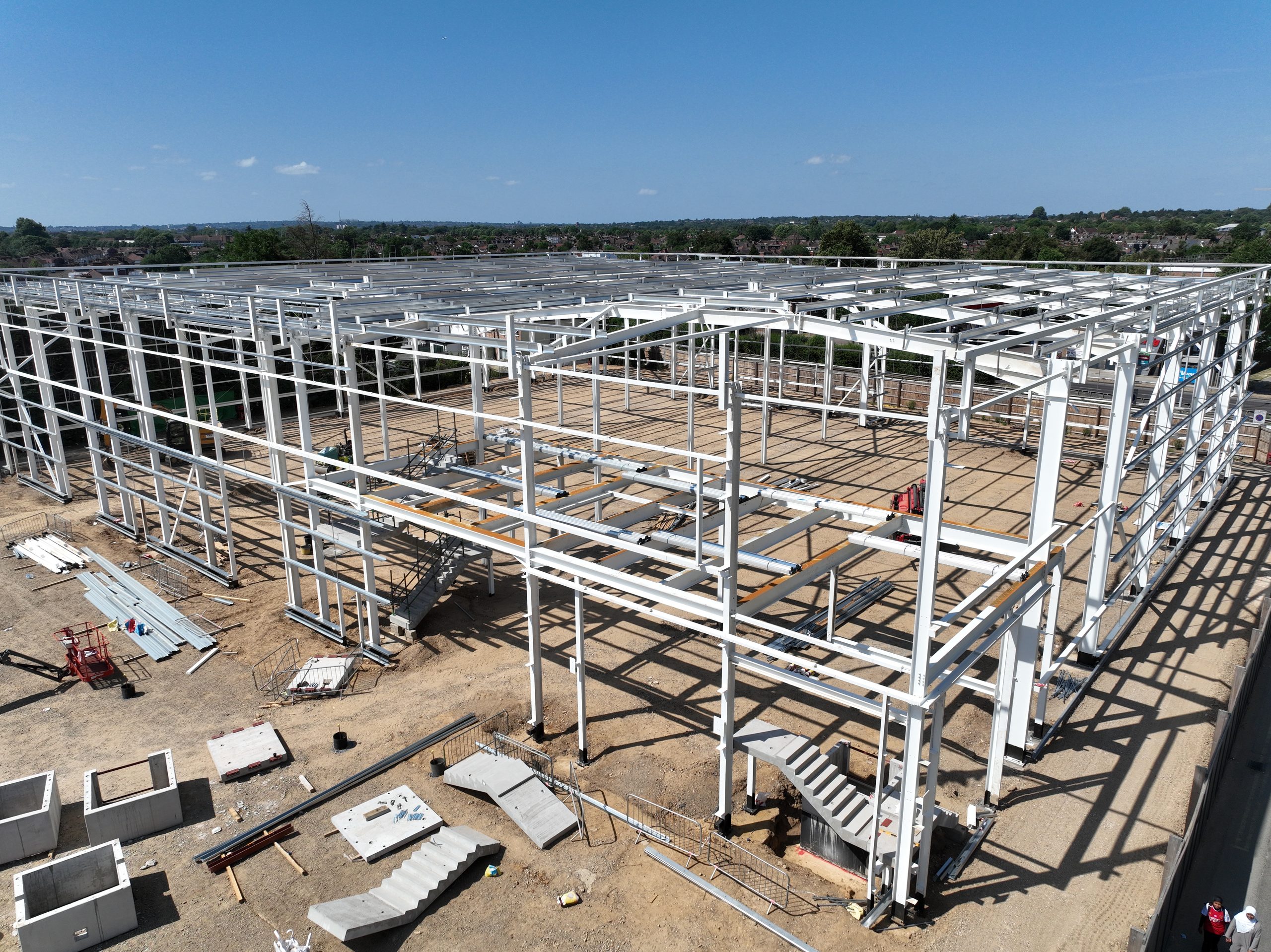
The drone images can show the whole site at weekly, monthly or specific intervals